Weather in Ireland
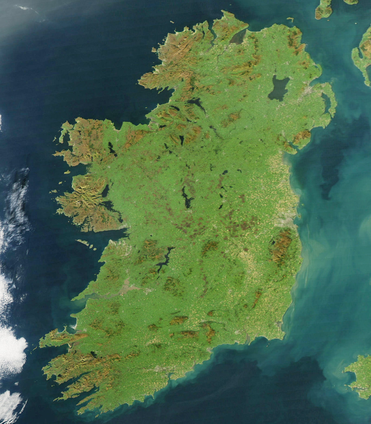
The climate of Ireland is strongly influenced by the Atlantic Ocean, which helps the country avoid the extreme temperatures seen in other nations at the same latitude. The North Atlantic Drift, with its warm waters, has a significant impact on sea temperatures. This maritime influence is most pronounced along the Atlantic coasts and decreases as one moves inland. The hills and mountains, often located near the coast, offer protection from strong winds and the direct influence of the ocean. Winters are generally cool and windy, while summers, with depressions moving further north and becoming less intense, are mostly mild and less windy.
The transition from winter to spring or from summer to autumn is gradual, and the general trend can be subject to reversals that may last a week or more. For climatological and meteorological purposes, based on air temperature, the seasons are considered three-month periods as follows: December to February for winter, March to May for spring, June to August for summer, and September to November for autumn. This division is commonly used in meteorological practice in many countries located at middle and northern latitudes.
Between February and June, the influence of continental high-pressure systems and those from Greenland make these the months with the least precipitation. The sea around Ireland is coldest between February and March, and consequently, the increase in average air temperature is slow in the spring. However, on clear days with light winds, afternoon temperatures can reach summer-like values even in March. In these conditions, the nights are cold, and frost is not uncommon in inland areas, even in May. The continental high-pressure systems that block Atlantic depressions are typically responsible for the dry spells in late spring.
Towards the end of June or early July, the increase in pressure over the ocean and a corresponding decrease in pressure over Europe causes the general wind flow to become westerly, bringing air that has crossed the ocean, resulting in increased cloud cover, humidity, and precipitation. From mid-July, clear nights tend to be accompanied by heavy dew. Warm, humid air masses, combined with daytime heating sufficient to cause thunderstorms, are characteristic of the climate from mid to late summer.
As August progresses, occasional incursions of cold air masses from the north in the Atlantic generate active depressions in late August and September. By September, the humid air is exposed to longer and colder nights, and fog is frequent at dawn in low-lying areas.
Precipitation can turn into snow in higher areas, as temperatures generally decrease with altitude.
In October and November, westerly winds from the Atlantic cross relatively warm seas, and frontal rains and post-frontal showers tend to be moderate or intense. The development of high-pressure systems extending over Ireland during these months can bring very pleasant weather during the day. However, in these conditions, fog is slow to dissipate in the morning, especially in November, when solar radiation is reduced.
From the end of summer through autumn, there is a risk that former tropical depressions may mix with depressions from the North Atlantic weather pattern, causing violent storms. Although these storms are quite rare, they are significant meteorological events.
Book our Tour in Dublin
Our guide are certified professionals!
The best time to visit Ireland is during spring—April, May, and early June—or late summer and early autumn—September and October.
Typically, the months of July and August are rainy, but climate change is altering the weather patterns of the Emerald Isle.
For weather updates, you can check Met Éireann’s website.
Antonio's advice:
As an Irish environmental guide (lowland leader), when I accompany groups on treks, I rely on an app that I’ve found to be very useful and accurate, YR. You can download it from this link if you have an Android device:
Or, if you have an Apple device, you can download it from this link:

